GIS/Mapping
 Geographical Information Systems are commonly known as GIS. These collections of computer hardware, software and geographic data are used for capturing, managing, analyzing and displaying all forms of geographically referenced information.
The Regional District of Nanaimo GIS Mapping Department provides GIS services to RDN staff and citizens in the most efficient and effective method possible, leveraging new technologies to dynamically create maps providing value-added service. The staff in this department is responsible for maintaining and updating RDNMap, a geographical information mapping system that contains information on all of the properties within the Regional District. Staff also combines regional GIS data with other information to develop a variety of map products for RDN departments.
CLICK HERE TO DOWNLOAD GIS OPEN DATA
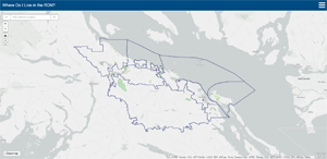
Where Do I Live in the RDN?
Input your property address to find out if it is located within an electoral area or municipality within the RDN. This information will help you understand who your elected official or officials are on the RDN Board and what services are provided to your area.
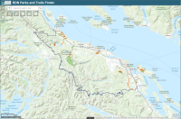
Parks and Trails Mapping
Search for and identify parks and recreation trails throughout the RDN with this mobile friendly interactive webmap. Note that this map requires an internet connection and may use data when viewed on a mobile device. If hiking without internet or cellular data, refer to the georeferenced PDF maps below.Keep checking back as more park features and trail data will be added on an ongoing basis.
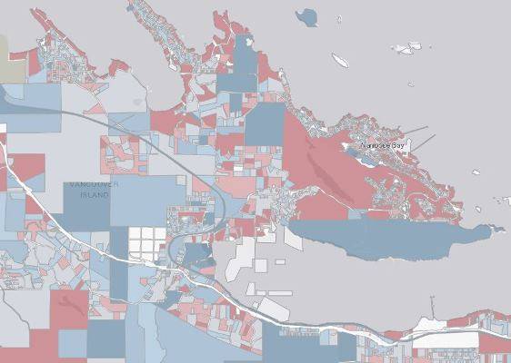
Assessment Information
This tool is intended to provide an overview of 2019 Assessment Values within the RDN. Reported values are divided into a number of ranges from $0 to $1 million and higher, or Non-Tax parcels.
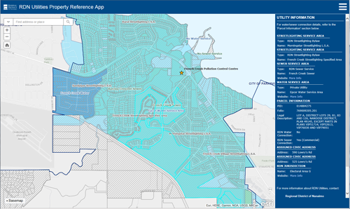
Utilities Property Info Search Tool
This tool provides Water, Sewer, and Streetlighting information for properties within the RDN, including active water and sewer connections. Search by Address, PID, or Road, or click on a property for utility information.For property inquiries within the municipal boundaries of Nanaimo, Lantzville, Parksville, and Qualicum Beach, please contact the municipalities directly.
RDN Fire Protection Lookup
The Regional District of Nanaimo Fire Protection Area Look-up tool enables users to search by civic address to find out if/which Fire Department provides fire protection and emergency response services.
Georeferenced PDF Maps
The following Parks and Trails maps are available to download and print. These georeferenced PDFs are also compatible for use with various mobile mapping applications, such as PDF Maps by Avenza Systems Inc., available for download from the App Store or Google Play.Keep checking back as more PDF maps will be added on an ongoing basis.
Other GIS Mapping responsibilities
The GIS Mapping department collects, stores, updates, analyzes and displays data from a variety of sources, producing GIS products and services for use by the public and internal RDN staff. GIS staff is responsible for the creation, acquisition and maintenance of spatial layers, attributes and metadata required to publish maps internally and externally. Data is centrally managed, allowing the department to provide prompt, accurate and efficient services to RDN staff and citizens. The GIS Mapping Department promotes collaboration and communication within RDN departments and contributes information and insight to assist with day-to-day decision-making.- RDNMAP-The RDN's Online Mapping System
- Addressing
- Cadastral Base Maps showing properties and legal descriptions, roads and easements
- Aerial Photography
- Official Community Plans
- Zoning Maps
- General Reference Maps
- House Numbering Maps
- Electoral Area Maps
- Bylaw Maps to define Local Service Areas for functions such as fire protection, water, sewer and street lighting
- Special Purpose Maps
- Maps for RDN publications
Contact GIS Mapping
Telephone (250) 390-4111 or toll free 1-877-607-4111
Email [email protected]
Fax (250) 390-4163
Address 6300 Hammond Bay Road, Nanaimo B.C., V9T 6N2

